North / South
East / West
N-West / S-East
N-East / S-West
Andalusia, union between Europe and Africa
North – South gradient
If Andalusia marks the southern limit of the European continent, the beautiful lands of the Strait of Gibraltar are, in fact, the “South of the South”. The Strait is a 14 km stretch of sea, with dangerous sea currents, which separates two continents. In the past, the Bay of Algeciras (“Green Island”) was the gateway to the Arab-Muslim conquest, specifically in the seventh century. Interestingly, today the Spanish state still maintains established territories in the Maghreb (Ceuta and Melilla).

So close, the Maghreb is a dream. The Spain / Morocco border is the most unequal in the world.
Boundary between Old and New Worlds
East – West gradient
The Columns of Hercules, legendary elements of Greco-Roman mythology designate the headlands that mark the Strait: the Rock of Gibraltar (“Tarik Mountain”) on the European coast, and the Djebel Musa (“Mountain of Musa”) on the Moroccan coast. For the Ancients, remember the Odyssey of Ulysses, the Mediterranean was the main courtyard, the sea in the middle of the lands, the basin of civilization, headquarters of military operations, theater of adventures and commerce. The Columns of Hercules mark the departure of the civilized world towards the unknown and the fear of the immeasurable immensity of the ocean beyond.
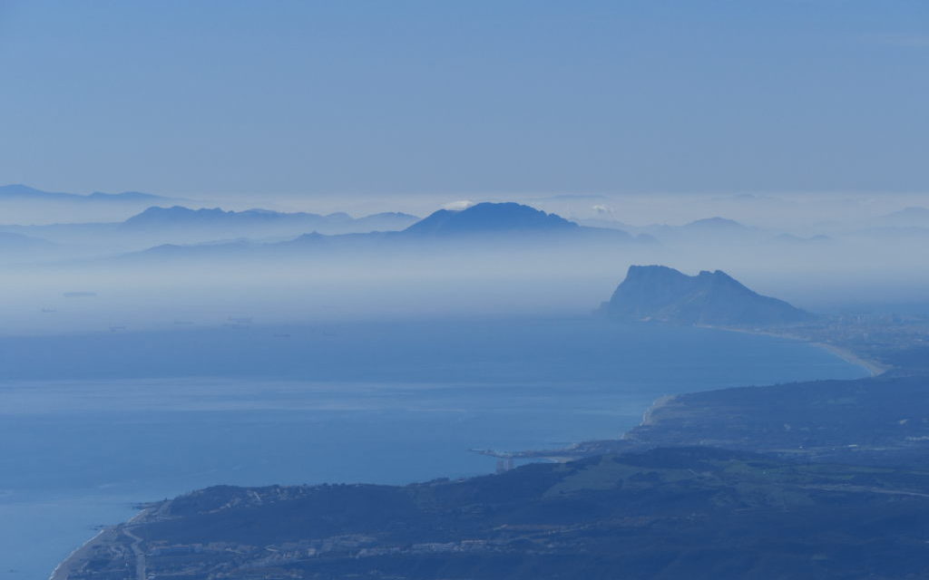
The Pillars of Hercules mark the border of Mediterranean civilization.
Humidity and aridity
Northwest – Southeast gradient
The humidity gradient decreases and the aridity increases, culminating in the province of Almería and its semi-desert lands. The irony is that this province has developed the most powerful of the vegetable industries (tomatoes, cucumbers, etc.) that caters to European supermarkets, consume exorbitant amounts of water and cover their extensions with plastic sheets. This province, which was very poor, is enriched by force of work, the exploitation of its natural resources and temporary workers, often of African origin.
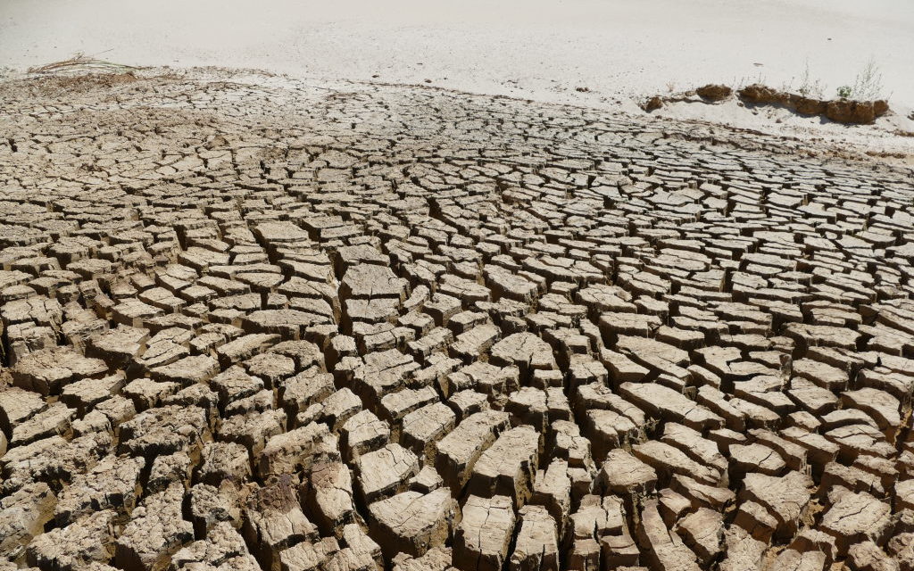
Andalusia is the driest region in Europe and is severely impacted by the effects of climate change.
Andalusian natural geography following the “great river” Guadalquivir
Northeast – Southwest gradient
Geographically, Andalusia can be divided into three parallel blocks with a northeast / southwest direction following the direction of the great southern Iberian river: the Guadalquivir. The “Rio Grande” flows from the eastern mountains of Cazorla to the western plain and leads to a legendary estuary: Doñana, one of the most important wetlands in Europe.


